
Monte Bondone hikes.
Hiking on Monte Bondone offers breathtaking views over the Etschtal and the Dolomites, with trails suitable for everyone: from via ferratas for experienced hikers on the iconic Three Peaks to relaxing walks across the Viote meadows.
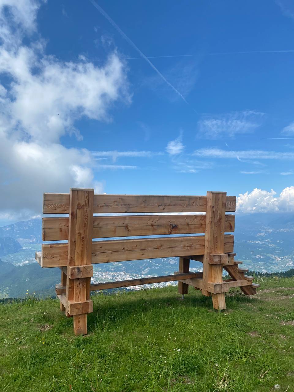
Montesel – “giant bench”
From Norge, you ascend following the trails and tracks that run alongside the ski slopes and through the forests towards Vason / Cordela, then branch off to climb the ridge that leads directly to the panoramic Cima Montesel at 1,726 meters, where you will find a large larch-wood installation from which you can admire the Etschtal and the city of Trento from above.
This is a moderate-level trek that requires good physical fitness. The section over Dos d’Abramo includes a short equipped stretch (steel cable), which can also be bypassed by going around the peak for those who prefer an easier trail.
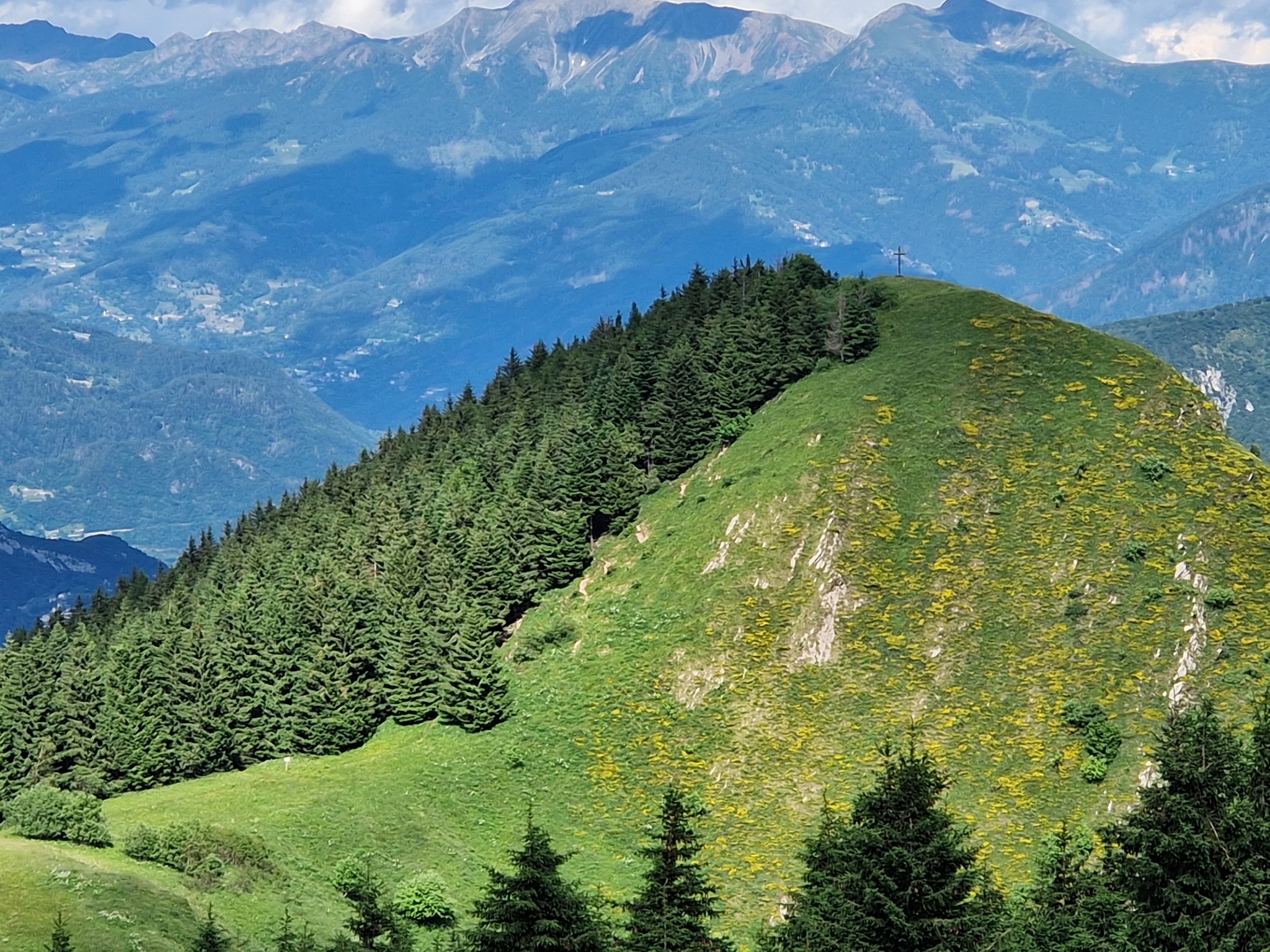
Dos de la Cros
The trail from Hotel Norge to Dos de la Cros is a pleasant walk that gently climbs through the dense forests of Monte Bondone. The well-marked route allows you to immerse yourself in alpine nature, with a steady ascent that is never too demanding. The real reward comes at the end of the path: once you reach the large metal cross on Dos de la Cros, the forest suddenly opens onto a spectacular suspended panoramic balcony offering a breathtaking view over the Etschtal and the city of Trento.
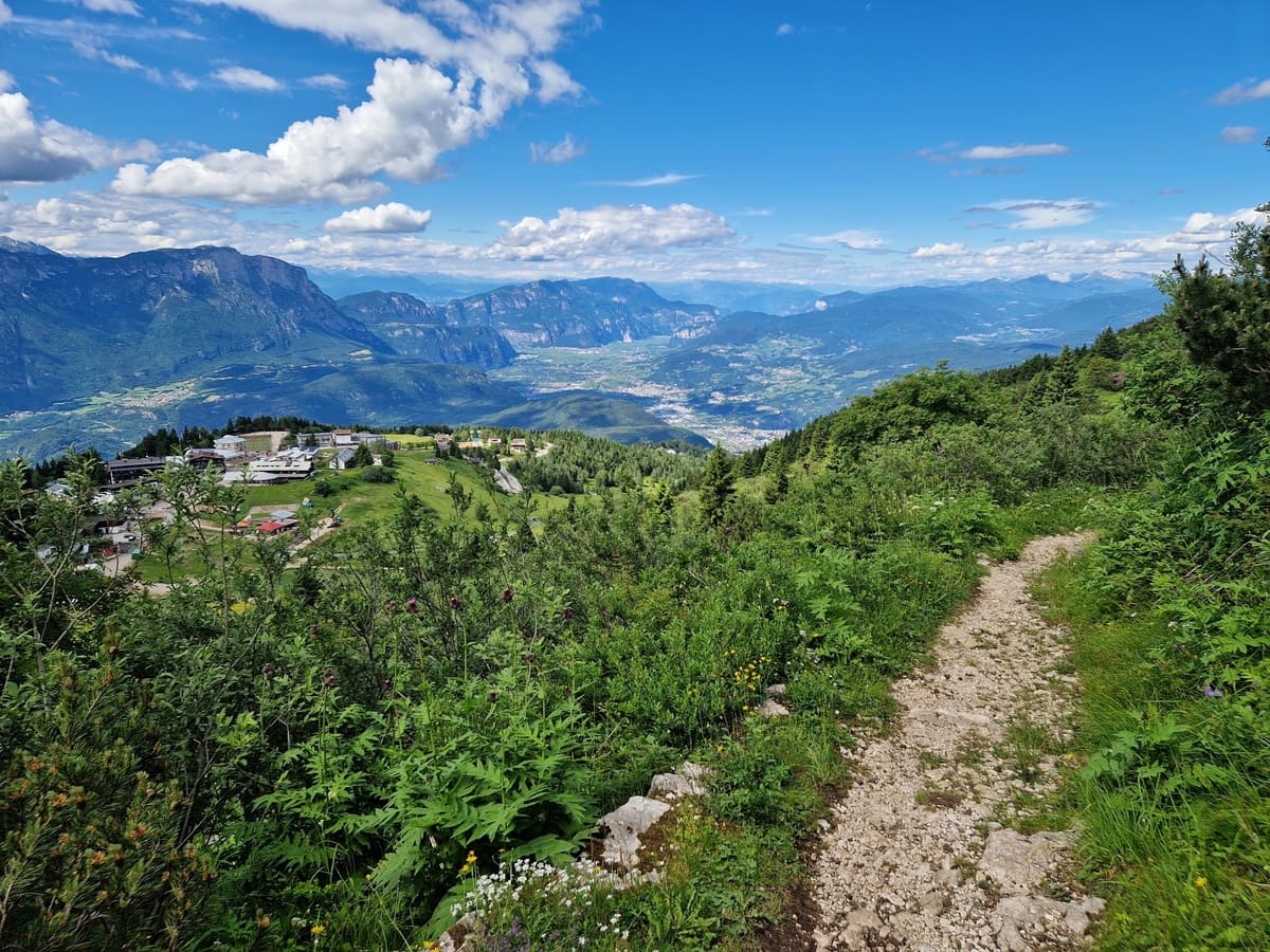
Cima Palon – “Sentiero dei mughi”
The Sentiero dei Mughi is the ideal route to reach Cima Palon, the queen peak of Monte Bondone at 2,098 meters. Starting from Hotel Norge, the trail passes Vason and winds through dense mountain pine in a zig-zag pattern, making the ascent steady and never too steep. Along the way, you pass old World War I trenches, while the landscape gradually opens up as you approach the summit. The final destination offers a spectacular 360-degree terrace over the Brenta Dolomites, the Etschtal, and Trento, fully rewarding the total elevation gain of 670 meters.
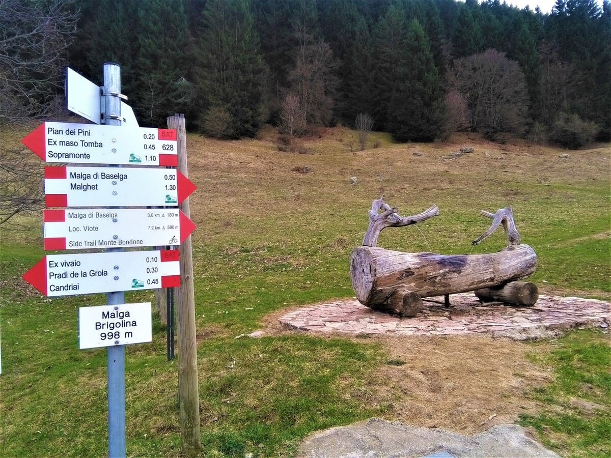
Malga Brigolina
The trail to Malga Brigolina is a relaxing walk, mostly downhill, that crosses the dense forests of Monte Bondone on the northern side of the mountain. It covers about 3 kilometers with a descent of just under 450 meters to reach the wide clearings of the alpine hut. This route is perfect for families, taking around 50 minutes one way, keeping in mind that the return trip will be entirely uphill.
Norge – Viote
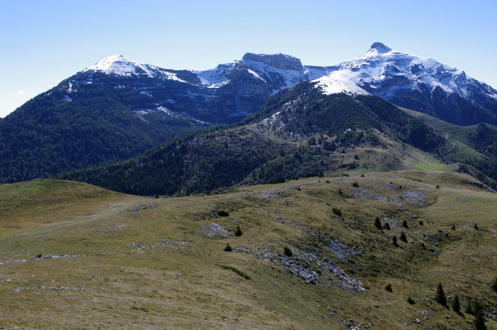
The ascent to Vason is the most direct and fastest natural connection to the central area of the mountain. The trail runs through the forest alongside the ski slopes for about 1.5 kilometers and involves an elevation gain of approximately 220 meters. It is a walk of around 30 to 40 minutes, very useful both as a short stroll to reach the local amenities and as an intermediate starting point for longer hikes.
Viote – “ex Malga Albi”
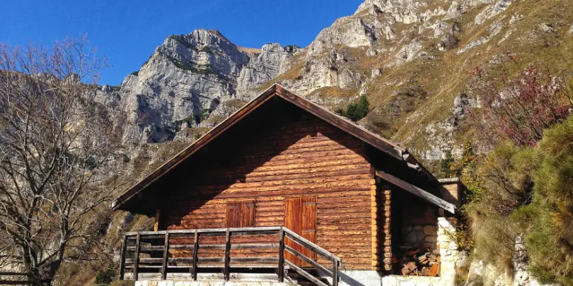
The Viote – ex Malga Albi loop is a classic hike that connects the high-altitude pastures with the forests on the southern side of Monte Bondone. Starting from the Viote (1,565 m), the trail steadily descends through the forest to the grassy basin of the former Malga Albi (1,264 m). For the return, trail SAT 630 climbs back along the eastern ridges beneath the cliffs of Cima Verde, passing through mountain pine sections and old military paths until it emerges again onto the Viote plateau.
“Tre cime” loop hike
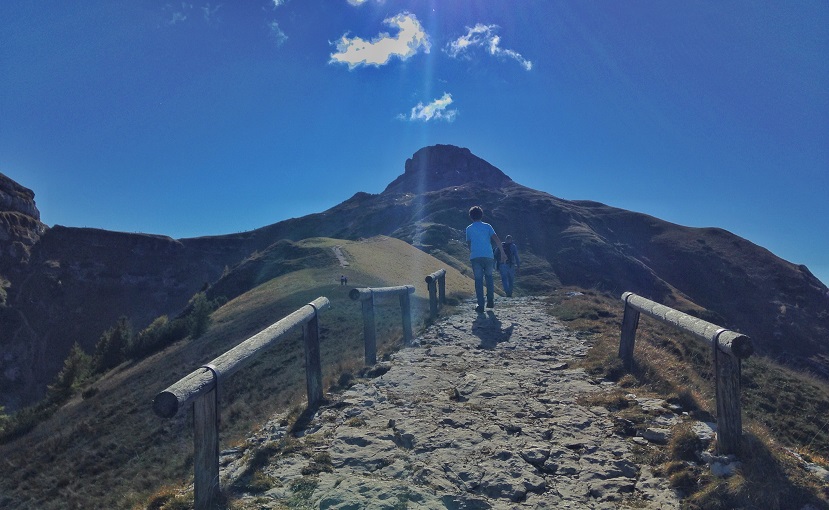
A loop route that connects the three main peaks (Cornetto, Dos d’Abramo, and Cima Verde), starting from the Viote basin. It offers spectacular 360° views ranging from the Brenta Dolomites to the Etschtal, all the way to Lake Garda.
This is a moderate-level trek that requires good physical fitness. The section over Dos d’Abramo includes a short equipped stretch (steel cable), which can also be bypassed by going around the peak for those who prefer an easier trail.
Bocca dei Vaioni
The short walk leading to Bocca dei Vaioni crosses the entire biotope area of the Viote of Monte Bondone. This beautiful spot is an exceptional panoramic viewpoint: to the north you can admire the entire Brenta Dolomites group, to the west the Carè Alto massif with its three main peaks, and to the south the entire ridge that runs from Cima Cornetto, part of the Three Peaks of Bondone, towards Monte Stivo in the direction of Lake Garda and the Valle dei Laghi, while to the east you will find the Palon.
La Rosta
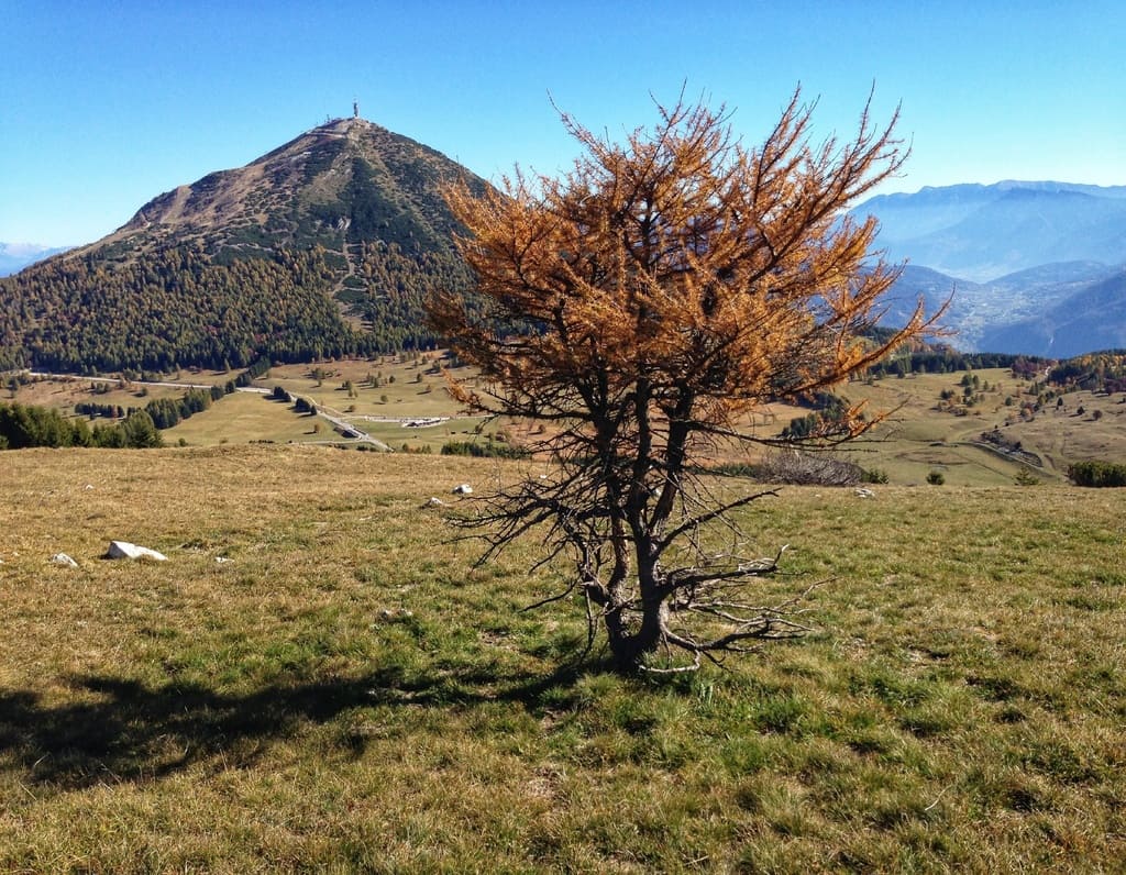
The Viote – La Rosta – Viote route is a beautiful circular hike, considered one of the best (easier and more relaxing) alternatives to the classic and more demanding Three Peaks circuit.
The trail starts from the Viote basin (near Capanna Viote / the cross-country skiing center). It crosses the meadows following SAT trails 607 and 618, then climbs up to Bocca di Vaiona (1,700 m). From there, it follows the scenic grassy ridge up to the summit of La Rosta (1,832 m), before descending back to the Viote area and closing the loop through forests and alpine meadows.